Use of Remote Sensing Technology and Geographic Information System for Agriculture and Environmental Observation

- Authors: Karim Ennouri1, Ennio Ottaviani2, Slim Smaoui3, Mohamed Ali Triki4
-
View Affiliations Hide Affiliations1 Olive Tree Institute, Sfax, Tunisia 2 Olive Tree Institute, Sfax, Tunisia 3 Olive Tree Institute, Sfax, Tunisia 4 Olive Tree Institute, Sfax, Tunisia
- Source: Emerging Technologies in Agriculture and Food Science , pp 108-138
- Publication Date: October 2020
- Language: English
Use of Remote Sensing Technology and Geographic Information System for Agriculture and Environmental Observation, Page 1 of 1
< Previous page | Next page > /docserver/preview/fulltext/9789811470004/chapter-5-1.gif
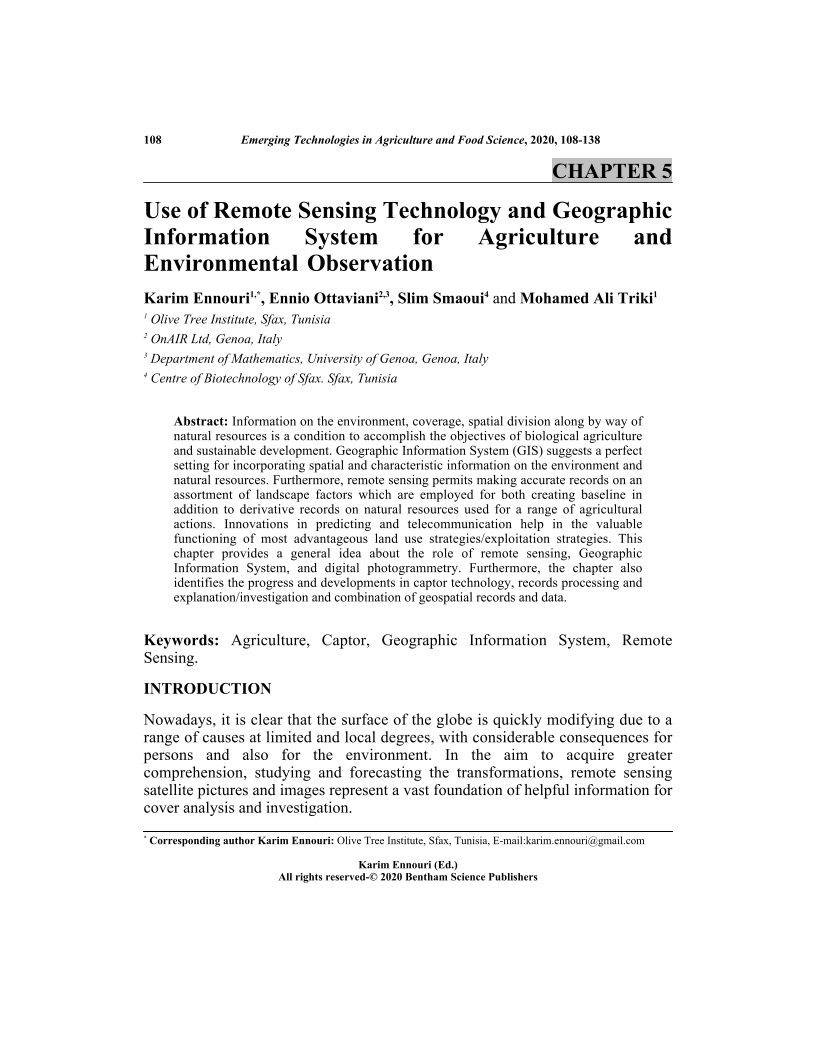
Information on the environment, coverage, spatial division along by way of natural resources is a condition to accomplish the objectives of biological agriculture and sustainable development. Geographic Information System (GIS) suggests a perfect setting for incorporating spatial and characteristic information on the environment and natural resources. Furthermore, remote sensing permits making accurate records on an assortment of landscape factors which are employed for both creating baseline in addition to derivative records on natural resources used for a range of agricultural actions. Innovations in predicting and telecommunication help in the valuable functioning of most advantageous land use strategies/exploitation strategies. This chapter provides a general idea about the role of remote sensing, Geographic Information System, and digital photogrammetry. Furthermore, the chapter also identifies the progress and developments in captor technology, records processing and explanation/investigation and combination of geospatial records and data.
-
From This Site
/content/books/9789811470004.chapter-5dcterms_subject,pub_keyword-contentType:Journal -contentType:Figure -contentType:Table -contentType:SupplementaryData105

